

Basic descriptions
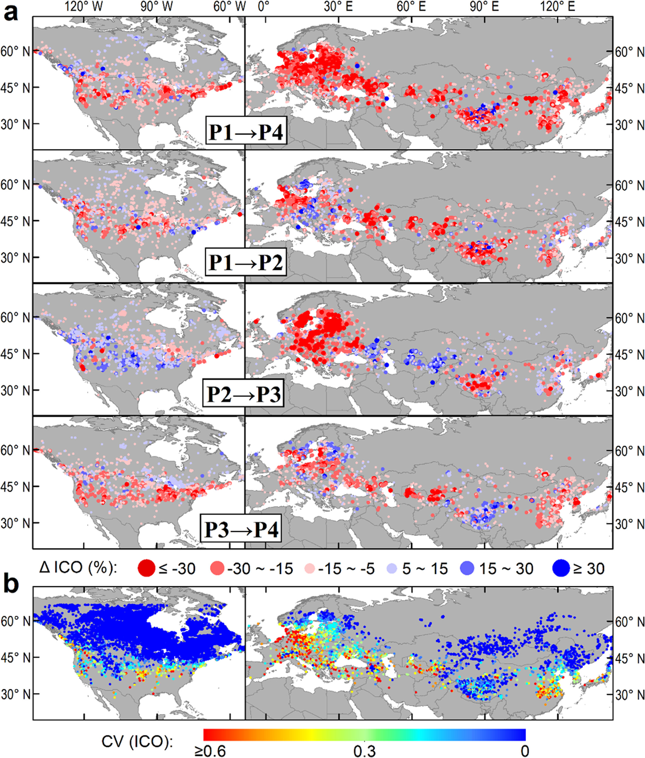
The data set mainly includes the ice observation frequency (ICO) of north temperate lakes in four periods from 1985 to 2020, as well as the location, area and elevation of the lakes. Among them, the four time periods are 1985-1998 (P1), 1999-2006 (P2), 2007-2014 (P3) and 2015-2020 (P4) respectively, in order to improve the “valid observation” times in the calculation period and improve the accuracy. The ICO of the four periods is calculated by the ratio of “icing” times and “valid observation” times counted by all Landsat images in each period. Other lake information corresponds to the HydroLAKEs data set through the “hylak_id” column in the table. In addition, the data only retains about 30000 lakes with an area of more than 1 square kilometer, which are valid for P1-P4 observation. The data set can reflect the response of Lake icing to climate change in recent decades.
Data download
The GLIP dataset is publicly available at this lab webpage via the following links:
1) https://figshare.com/projects/Lake_ice_mapping_across_the_North_Temperate_Zone/120306.
2) https://data.tpdc.ac.cn/zh-hans/data/d09ddae6-75c6-431c-a9e4-02e3067e9e1d
Related Publications
Wang, X., Feng, L.*, Gibson, L., Qi, W., Liu, J., Zheng, Y., Tang, J., Zeng, Z., & Zheng, C. (2021). High-Resolution Mapping of Ice Cover Changes in Over 33,000 Lakes Across the North Temperate Zone. Geophysical Research Letters, 48, e2021GL095614